


BETTER REAL-TIME TRACKING AND ROUTING WITH HIGH-ACCURACY GPS
Your Industry Challenge, Our Solution
WHERE TRUST MEETS TECH:
GETAC’S REAL-WORLD SOLUTIONS SPAN MULTIPLE INDUSTRIES
Every company has its unique challenges. Getac is known to provide industry-tailored, rugged computing solutions that cater to your specific operational needs. Whether boosting efficiency, prioritizing safety, or lowering total cost, we make it our mission to develop a core understanding of your business goals. We consider your pain points, the context of your day-to-day work, and your desired outcome, which all lead to our perfect-fit solution— one with only the capabilities you need and want. We’ve collaborated with businesses in various fields and have generated hard results for each and every one of them. Let us do the same for you.

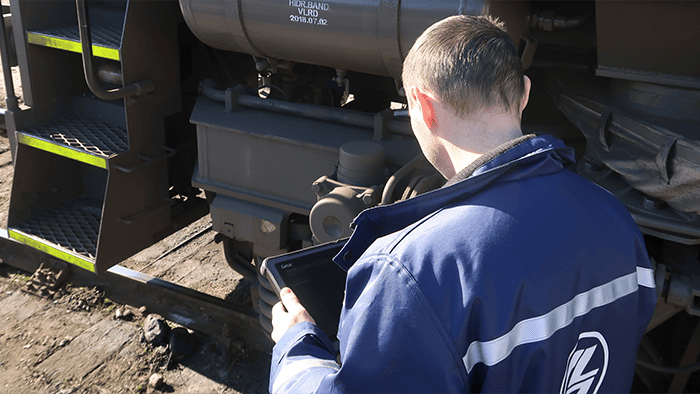
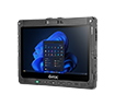
RUGGED GPS DEVICES DESIGNED FOR FORESTRY
Enhancing Land Surveyors’ Digital Mapping in Woodland Territories
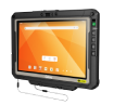
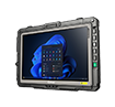
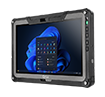
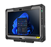
MANUFACTURING
SURVEY & MAPPING
FORESTRY
TRANSPORTATION AND LOGISTICS

THE INDUSTRY & COMPANY
Government departments focused on forestry and natural resource management
Land management, surveying, and sustainable growth practices are major priorities for governments in countries with significant forest ecosystems. In these areas, a large portion of the territory is covered in woodland, making forestry/logging a large industrial sector and timber/wood a main export. Given the importance, governments need to map out the land, know the best geographic areas for healthy cutting, keep detailed records of tree species, and ultimately make informed decisions when it comes to forest management.
THE CHALLENGE & PAIN POINTS
Signal drift in forests leads to difficulty in collecting accurate data
With standard tablets, the GPS signaling is inaccurate and unstable. There is a signal drift of around 20-30 meters, especially since they operate in dense forests where trees cause a lot of interference to signaling. Because of this, there is a risk that surveying is done inefficiently or incorrectly— that up-to-date information gathered from the field is not communicated thoroughly or done in real time. This can cause inefficiencies in forestry work and incur additional costs in time and manpower.
THE TAILORED SOLUTION
Dedicated GPS built specifically for challenging field assignments
Getac’s rugged tablet was tailor-made with a high-accuracy dual-band GPS (sub-meter level) for survey and mapping. This allowed for natural resource management down to the exact tree, which meant being able to determine which forest blocks were already surveyed with utmost precision. Better search capacity, faster location positioning, and improved accuracy are just a few features of a more robust dedicated GPS. When it comes to industry-specific tasks like field service for site selection, pruning trees, or timber cruising, the GPS serves many key purposes. It can direct teams in real time to specific locations, determine where field workers have already been, and map where they need to go next. In particularly dense woodland areas where LTE connectivity is inadequate, it’s key that the GPS functionality remains operational.
THE RESULTS & BENEFITS
Greater consistency and reliability for every facet of forest management
Better GPS positioning capabilities can bring forest management efforts to the next level. From GIS mapping and surveying to coordinating crews and fleets in the field, areas where forestry is a key industry can benefit from the efficiency and accuracy of dedicated GPS solutions. Even when faced with remote areas or nature’s unpredictability, Getac solutions reduce wasted time or delayed results.

REAL-WORLD GETAC APPLICATIONS