


Mobile GIS solutions for Surveying and Mapping
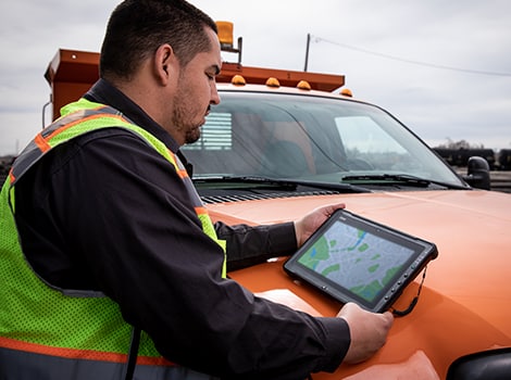
The ability to accurately locate subterraneous pipelines and electric wires is key to effective utility fieldwork by project managers. Getac computers support powerful mobile geographic information systems (GIS), enabling the display of GIS surveying and mapping schematics directly on-device, and making intricate project management activities fast and efficient.
Mobile Geographic Information Systems (GIS) Solutions
With mobile GIS systems in place, teams working in the field are better prepared to make important decisions quickly, keeping operations timely and efficient. Getac solutions and devices have a record of successfully facilitating GIS applications, delivering both enhanced performance and cost savings for a variety of mobile GIS map functions.

Precise GPS Integration for GIS Solutions
As a critical geographic and topographic data source, dedicated GPS is vital for mobile GIS, surveying and mapping field operations. Getac solutions include a broad range of products and services, including rugged tablets, with GPS receivers that ensure vital location data stays available wherever the team goes.

Streamlined Field Data Collection with 4G LTE GIS Solutions
Apart from GPS location data, access to mapping databases and other topographic data is vital for mobile GIS map applications. With 4G LTE and IEEE 802.11ax Wi-Fi, our solution delivers fast access to online data so that GIS software can convey key information with ease. This seamless connection empowers GIS software to deliver critical geospatial insights effortlessly. The result is up-to-date and readily available geographic information system gis,, crucial for informed decision-making in the field.

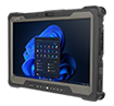
Sunlight-Readable Touchscreen for GIS Solutions
Professionals involved in utility fieldwork spend a significant part of their time outdoors. That’s why Getac devices are built with LumiBond®2.0 display technology, that provides a highly readable display that lasts all day long. LumiBond®2.0 also delivers improved touch control (with gloves and also with a digitizer pen or stylus), so that our devices remain 100% usable in the sun or rain. Navigate highly variable lighting with ease with our high contrast displays indoors and outdoors.
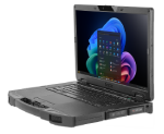
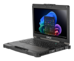
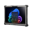
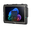
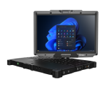
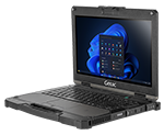
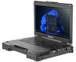
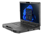
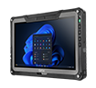
Getac's mobile GIS solutions and networked desktop solutions, featuring precision digitizer pens, long-lasting batteries, powerful processors, and backlit keyboards, are meticulously engineered to enhance productivity and reliability in challenging GIS fieldwork environments.
Digitizer Pen and Screen
Ordinary capacitive touchscreens do not provide the accuracy required for innovative GIS based solutions. Getac’s mobile GIS solutions offer a digitizer pen (optional) and stylus to deliver pinpoint accuracy, vital in the data collection for mobile GIS applications.

Long Battery Life
Our long battery life can last a full work shift in the field. If work requires more, Getac also offers products and technical services, with hot-swappable dual batteries and bridge battery options to ensure continuous operation.
Processing, Memory and Speed
Getac’s solution offers devices with powerful Intel® Core™ i7 and i5 vPro™ processors, with the power needed for your applications, and high capacity memory and storage options to ensure GIS/mapping applications run smoothly. This robust database design supports advanced application development, critical for comprehensive GIS projects.
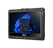
Backlit Keyboard
Essential for night-time work, our rugged laptops offer backlit keyboards that allow professionals to input text with ease in different environments.
What is "Getac Select Solutions?"
As a leader in providing rugged mobile solutions in the industry, we listen to customers and want to take our Customer Experiences to the next level. We understand the challenges in your daily business and the frustrations you may have while selecting suitable solutions to achieve your business objectives or solving these challenges. To further separate Getac from the competition, Getac now offers a comprehensive Industry solutions program, called “Getac Select Solutions”. With our years of industry knowledge and experience, and combined with our successful deployments to our customers globally, “Getac Select Solutions” shortlists the most appropriate solution options for you to choose from.
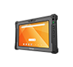
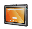
MOBILE GIS SOLUTIONS MAP COMPATIBLE
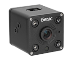
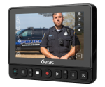
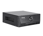
Getac provides rugged computing products and services, tailored for utility fieldwork, featuring dedicated GPS, fast access to GIS mapping services and data sources, and industry-specific solutions for mobile GIS map compatibility. Senior GIS developers and GIS technicians can rely on these solutions for seamless operation in the field.
Professional Services
Extended Bumper to Bumper (Accidental Damage Warranty)
4/5 years options
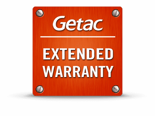
Extended Warranty
4/5 years options
Battery Warranty
2/3/4/5 year options

Keep Your SSD Warranty
3/4/5 years options
Docking Warranty
- Getac Office Dock 1 year option
- Vehicle Dock 3/4/5 year options

Additional Services can be delivered by Getac’s partners directly or via Getac
- Advance Exchange Swap Services 3/4/5 year options
- Global Warranty 3/4/5 year options