
UTILITIES
Leica Geosystems is revolutionizing underground mapping work with Getac

Lower expertise barriers to mapping work
Easy map reading
Bumper-to-bumper warranty
Background
The location and mapping of underground supply networks is a tedious task, once only done by experts with significant technical know-how.

Challenge
Detection and mapping of underground supply lines takes place beneath all types of terrain, including asphalt, rocky subsoil, grass, or sand, and it once could only be done by experts.
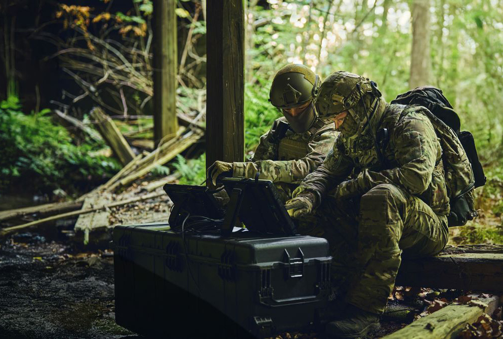
Up to now, the location of underground supply networks could only be carried out by experienced experts. With the DSX positioning system, Leica Geosystems has developed a solution that enables also less experienced users to locate underground supply lines. Since this work has to be carried out on all kinds of terrain and under all kinds of climatic conditions, a robust tablet was needed for the use of the DSX application.
Solution
The connectivity, reliability, and excellent readability of the F110 fully-rugged tablet’s 11.6-inch display in all conditions made it the perfect hardware for Leica’s DSX solution.
With the Getac F110, Leica Geosystems chose an unparalleled rugged and powerful tablet that greatly simplifies the process of visualizing, interpreting and transmitting traditional ground radar data. Leica thus provides its customers with an intelligent total solution that provides reliable information on the ground in any terrain and in all weather conditions.


Benefits
The Getac F110 greatly simplifies the process of visualizing, interpreting, and transmitting traditional ground radar data.
Due to its durability, the fully robust F110 Tablet is particularly suitable for use on uneven terrain and under adverse climatic conditions. It is drop-resistant and insensitive to shocks, dirt and moisture. Even temperatures from -21 to +60 °C do not affect the F110’s functions in any way. This allows Leica to ensure that DSX users can locate the positions of supply lines of all types and under all circumstances, and so that, for example, safety risks can be avoided during excavation work.
We sell our solutions worldwide, so we needed tablets that can cope with any type of climate and subsurface. In addition, they must be absolutely resistant and withstand rough handling, including impacts and falls.
Agata Fischer
Business Director Detection and Service, Leica Geosystems
About Leica Geosystems

Leica Geosystems AG is a subsidiary of the Swedish Hexagon Group, one of the world’s leading providers of information technologies. The Swiss company based in Heerbrugg can look back on 200 years of history and is revolutionizing the world of measurement – with complete solutions for specialists all over the world.
Explore the solutions which are helping Leica Geosystems

F110 Fully Rugged Tablet
The new F110 fully-rugged tablet offers an easy-to-carry profile, a comfortable touchscreen, and more power to run your general office and industry-specific applications with ease.
